
9 volcanic islands
Archipelago divided into three groups — eastern, central, and western.
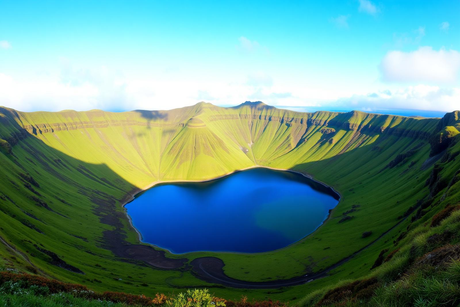
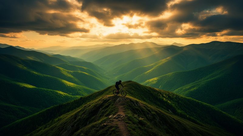
Nine volcanic islands in the middle of the Atlantic — a landscape shaped by craters, ridges, hydrangeas, and quiet roads. Riding here is moving at the rhythm of time.
The Azores fit entirely within a travel journal. Each island is a route — complete in itself, linked by slow boats and short flights.
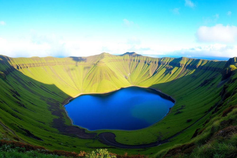
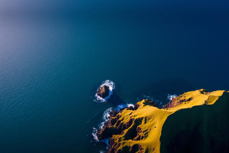
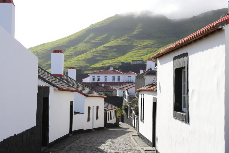
Dormant volcanoes, lagoons that change color with the light, pastures divided by basalt walls, and the sea — always the sea — in sight from any peak. The roads are narrow, well-maintained, and almost empty. The gravel is volcanic, dark, with rare grip. The climbs are short and steady; the descents invariably end at a fishing pier.
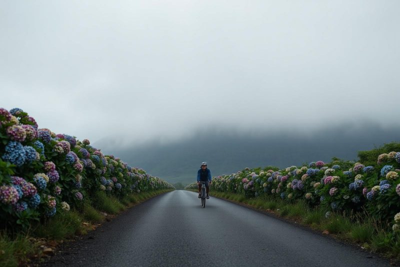
The mild climate allows for cycling all year round. Peak months are from May to October, when hydrangeas burst along the roadsides and rain arrives in short bursts that only ask for a coffee stop.
Archipelago divided into three groups — eastern, central, and western.
1,500 km west of Lisbon, at the meeting point of three tectonic plates.
Temperatures between 14°C and 25°C all year round. Deep green in any season.
Predictable winds, salty humid air, short rain that clears the landscape.
Roads lined with flowering hedges from June to September.
Low traffic, well-kept asphalt, and volcanic gravel for all levels.
The largest. Sete Cidades craters, Lagoa do Fogo, fumaroles, and pineapples.
The highest point in Portugal. Vineyards in stone corrals, UNESCO-listed.
Ridges and fajãs — small coastal plains formed by rockfalls.
Capital of transatlantic sailing. Perfect central Caldeira and lunar Capelinhos.
Angra do Heroísmo, a heritage city. Flat riding between vineyards and pastures.
Waterfalls, lagoons, and the westernmost point of Europe. For those who want to go further.
Guided tours, self-guided routes, bike rentals, and logistics — all starting from São Miguel.